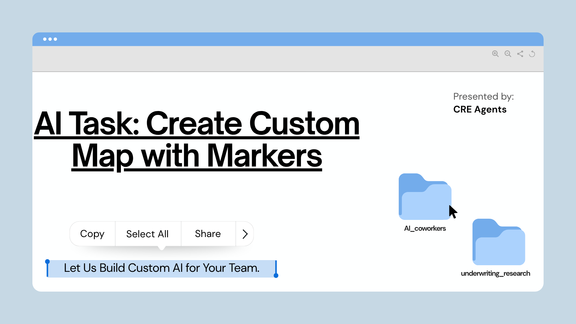
You just finished an offering memorandum and you need an amenities map. Or you are putting together a market overview and want to show every competitor property within a two-mile radius. Maybe a client asked for a map of coworking spaces near a listing, or you need to plot a handful of specific addresses for an investor presentation. You know exactly what belongs on the map. The problem is building it.
The usual process means toggling between Google Maps, a spreadsheet, and whatever design tool you can get to cooperate. You search for places, copy addresses, drop pins manually, format a legend, and try to make it look professional enough to put in front of a client. It is 20 minutes of assembly work that has nothing to do with your actual analysis. So the map either gets skipped, gets rushed, or gets delegated to someone who is already buried.
That’s exactly what this task is built to fix.
What This Task Does
You give the task one input: a description of what you want mapped. That can be a search query (“grocery stores near 100 Biscayne Blvd”), a list of specific addresses you want plotted, or a general concept (“top-rated restaurants near Brickell”). The more context you provide, the better the results.
From there, your Market Research Associate AI Coworker searches Google Places for matching locations, curates the most relevant results (up to 25), and builds a branded property map with numbered markers and a clean legend. If your request centers around a specific property or address, that location gets a gold marker as the subject property. You review the proposed map, request any changes, and confirm. The final output includes an interactive map viewer and a downloadable image you can drop straight into a document.
The whole process takes roughly 5 minutes of your time. The AI does the rest.
Who This Task Is For
Every CRE professional has needed a map at some point: for an OM, a market study, a client presentation, or an internal memo. The need is universal. The bottleneck is always the same: building the map takes longer than it should, and the result rarely looks as polished as you want.
This task is built for:
- Investment sales brokers who need amenity maps, competitor maps, or location overviews for offering memorandums and pitch decks
- Acquisitions analysts who want to visualize comparable properties, nearby retail, or transit access around a target asset
- Asset managers who need to show investors or tenants what surrounds a property in their portfolio
- Research and marketing teams who produce market reports, neighborhood profiles, or listing collateral that requires location visuals
In short: if you already know what belongs on the map, this task builds it for you.
Why It Matters
A good map makes a deal package look institutional. It gives the reader spatial context that a table of addresses never will. You already know this, which is why you keep meaning to include one.
The issue is not that maps are hard to make. It is that making a clean, branded, presentation-ready map takes 20 minutes of tedious assembly: searching, copying, formatting, exporting. That is just enough friction to push it off the to-do list when deadlines are tight.
So the OM goes out without the amenity map. The market overview skips the competitor overlay. The investor deck uses a screenshot from Google Maps that looks like it was grabbed in a hurry, because it was.
This task compresses that 20-minute process into about 5 minutes, and the output is not a screenshot. It is a branded, numbered property map with a legend, a shareable interactive link, and a downloadable image ready for print. You describe what you want, confirm the pins, and get a finished deliverable.
That’s the multiplier.
What the Output Looks Like
The property map generated by this task includes:
- Numbered markers for up to 25 locations, each corresponding to a row in the legend
- A gold subject property marker (when the request centers around a specific address)
- A clean legend with property names, addresses, and up to three custom data columns (e.g., category, rating, distance)
- An interactive map viewer you can share via link
- A downloadable map image ready to drop into documents, decks, or OMs
The output is not a Google Maps screenshot pasted into a slide. It is a branded, print-ready map with institutional formatting, the kind you would expect from a research team that spent an afternoon on it.
CRE Agents is a platform built for commercial real estate professionals who want to move faster without cutting corners. Task #9 is just the beginning.
Frequently Asked Questions About Creating Custom Property Maps With AI
Yes, and the task is designed around that workflow. Before the map is generated, the AI presents a summary of every location it plans to include: names, addresses, data columns, and the proposed title. You can add, remove, or swap any location, change column headers, or adjust the subject property. The map is only built after you confirm. If you want changes after generation, you can modify the existing map without starting over. The AI updates the pins in place and keeps the same shareable link.
Absolutely. The map is branded, numbered, and includes a formatted legend with custom data columns. It is designed to look like a deliverable from a research team, not a screenshot from a browser. The downloadable image is print-ready, and the interactive link gives recipients a zoomable, clickable version they can explore on their own. Teams use these in offering memorandums, market studies, investor presentations, and listing packages.
Yes. This task handles any kind of location mapping. Amenity maps, competitor maps, comparable property maps, points of interest, landmarks, transit stops, or a custom list of addresses you provide directly. If you can describe it, the task can map it. The AI adapts the search, the legend columns, and the title to match your request. You are not locked into a single use case.